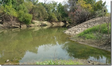
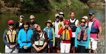
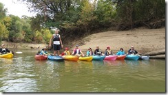
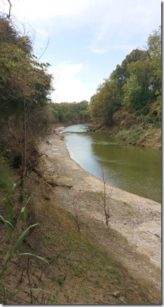
Looks peaceful enough, ah???
Well that’s because it’s the take out!!!
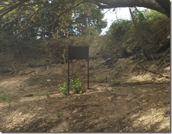
Look what we found…..
destroyed signs…..
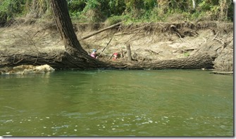
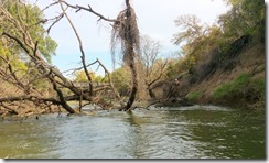
Tree Falls
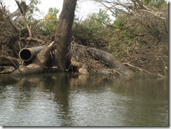
Very large pipes
and evidence of lots of very powerful water making the
channel over….again!
Besides all the changes to the streambed, we have some
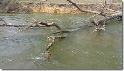
new and interesting strainers and tree rapids at LLELA
including a river crux that requires a skillset to navigate!
more on that later!!!!
AND NOW BACK TO THE FUN!!!!
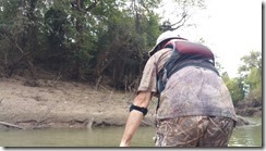
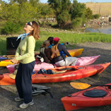
Check out these faces and see the steely resolve,
YES SIR!
That’s how we roll!
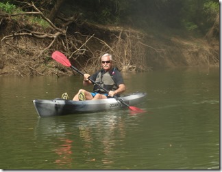
Or Check out all the photos from the trip below,
and remember I you see a photo you don’t like….
just click this link for the pay per “not view” form
Just $9.99 and that photo or photos…..goes AWAY!!!!
No if’s and’s or ….
Of course you know were just kidding, LOL!!!!
Limited time offer some exclusions may apply! Actual cost is more!
Ok you you want to run the river without us
& not get wet!
Better study the “inside” report below!!!
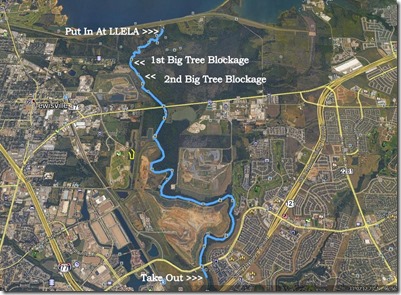
LLELA Eco Tour Launch @ 375 CFM
Easy to float through the shallow section with river left being the deepest and lines you up well with the mini drop and the mini rapid, run the standing wave right down the middle, and if need to stop, there is a big eddy on river left just after the tree,
RM 1
1st split you can take right or left, left being deeper near the left bank and the only heads up is the drain pipe you may need to avoid, the right is through shallow water and needs to be in center channel or the tree overhang with get you. Both sides converge back to a single channel that starts a left S turn, once inside this turn you need to be in the center channel as the current will slide you to river right and line you up with the overhanging tree strainer, once thru the S turn the current will again push you river left to the next tree strainer, stay center and you will be A OK.
Longer straight channel gives way to a hard right turn and again splits, currently is better to take the shallow left and perhaps have to get out ,instead of the tree blocking 90 of the channel to the right, however we did clear that tree so if you can steer in current you have a right run past the tree.
After that it’s a clear thru the S turn to the RR bridge and the confluence of the Actual Elm Fork Channel.
RM 2
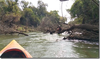
Just after the RR bridge the wires have been pulled low to the water stay more left for more line clearance. Once past that the current will pick up are the river narrows and you encounter the 1 of several tree strainers that occupy 95% of the river, the best run is river left right next to the root ball of a large tree, you can run river right however you will need to avoid all the high, low and in river branch’s while turning to the left, right after that a single tree blocks 95 % of the flow and pushes it left, again left is the preferred run. After that you can move back more river right and avoid the other in river trees several opening exist just remember to steer!
Cab you see Ken standing on the root ball?
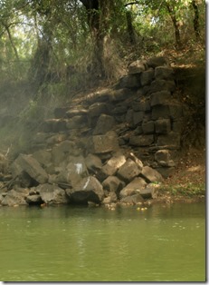
The circa1800 bridge support on river left has been washed out, if you look right the other bridge support is still standing.
Old Bridge support
Several other trees exist if you unsure about the way through, slow down and scout 1st.
2nd major tree rapid, however this one is more tricky as you have to maneuver your kayak in the current to avoid being washed into the strainer in a broach position!!
This is a narrow river right run with a dynamic move back to the left just past a downed tree and paddle hard thru the current line to more slack water. These is a tree that got washed into the river standing up, it divides the entrance to this and you want it on you right side, as you past the tree set you ferry angle (point the kayak nose 90* left) to go in just behind the downed tree, steer this one straight and the current will shoot you thru without a single stroke, under steer on this and you will need to hit the jets and paddle for effect or you will hit the tree in a broach position just out of the major current.
We actually open this up some more so that the tree will not knock you out father down if your late with your strokes.
Again after this several new tree and some news river cuts into the main channel from both sides.
RM 3
Lots and Lots of new trees in the river and almost all of these look like 100% blockages from upstream, however when you float in close all had opening in them that we plenty wide for human powered craft, i.e., your kayak.
Some were inside the main current but you did NOT need a maneuver stroke, some were outside the main current too.
RM 4
Did I mention Trees in the river along with a giant drain pipe, most likely from the landfill judging from the size 20 inch in diameter and the length 25 foot or more, some was under water making it hard to judge.
RM 5
Can you guess?? More trees and lots of bank scouring from both sides of the river, we also noticed some new flood inflows 20 feet or more across that had eroded lots of bank with the flow too. The shale beach is scraped clean of any plants up to about 10 feet, the channel also washed out the head section of the shale beach and started a new island, the path to the methane recovery plant is completely overgrown and un hike able so far….the tree rapid that was at the end of the beach is almost completely gone.
RM 6
Normal river channel with the exception of …
Yup you guessed it trees in the channel and erosion and stripped vegetation along both sides of the river. This area is actually the least damaged section of the 6 mile run
LLELA Eco Tour Put Out (Thanks Julies!!!)
Nothing new but additional human trash, and did I mention
some in the works for the take out, coming soon!!!
Map Markers
Geo Locations
33.03.27.19 N 96.36.17.53 W
is the 1st be group of trees in the river channel
33.03.21.50N 96.58.16.13 W
is the 2nd group with the main current running thru the trees
Paddle Smart and Paddle Safe!
